
A Sophisticated Infrastructure for Autonomous Excellence
Welcome to the Bainbridge-based project intake center for Fair Lifts Unmanned. We recognize that requesting a proposal for enterprise-grade drone operations is a strategic move—it’s the start of a technical alliance designed to optimize your harvest totals, protect your high-value assets, and satisfy rigorous regulatory standards. Rather than dealing with a remote sales desk, you will collaborate with UAS technical specialists rooted in Decatur County. Our team is prepared to evaluate your unique mission parameters and deliver a strategy rooted in localized data and aeronautical expertise.
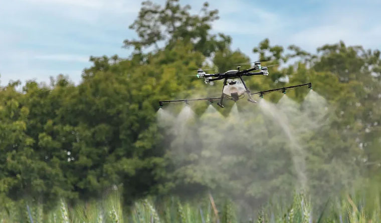
The Bainbridge industrial and farming sectors move at a pace dictated by the unique climate of the deep South and the demands of regional commerce. Whether you are managing the irrigation needs of a peanut crop or coordinating a large-scale land development project near the Flint River, we understand that timing is your most valuable resource. Our "Analyze. Deploy. Validate." methodology ensures that every flight is conducted with maximum efficiency, total transparency, and surgical precision.
The Fair Lifts Bainbridge Methodology
Phase 01: The Local Strategy Session
Every high-stakes mission starts with a comprehensive tactical review. For our agricultural partners, we examine field topography, specific crop varieties (such as peanuts, pecans, or corn), and the current pressure from regional pests. For our industrial clients, we scrutinize site-specific data requirements, accuracy tolerances, and preferred file outputs. We reject the "standardized" approach. In the Coastal Plain, we specifically calibrate for the challenges of sandy loam drainage, high humidity levels, and the complexities of regional airspace.
Phase 02: Surgical Execution
With a finalized flight plan, our professional crews transition to the field. Because we are stationed locally in Bainbridge, we offer a level of responsiveness that out-of-state contractors simply cannot provide. We utilize the most advanced hardware for the specific task, from our heavy-payload XAG P150 application systems to our WingtraOne VTOL platforms for high-resolution mapping. Our pilots adhere to a strict safety culture modeled after commercial aviation, ensuring every acre is managed with centimeter-grade accuracy while respecting local noise and safety ordinances.
Phase 03: Actionable Intelligence Delivery
We consider the mission incomplete until you possess the specific data required for decisive action. Following an aerial application, you receive a detailed "As-Applied" digital record—concrete evidence of precise coverage. For surveying and mapping, we provide engineering-quality orthomosaics, 3D point clouds, or LiDAR datasets formatted for the CAD and GIS environments your firm utilizes. We finalize the process with a collaborative review of these results to ensure your operational return on investment has been maximized.
Regional Integration and Long-Term Partnership
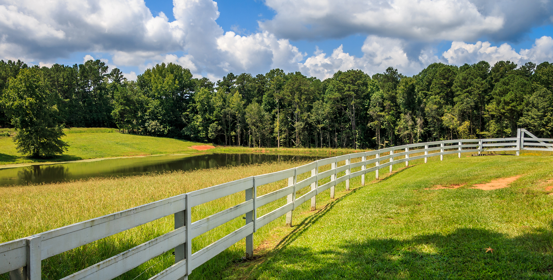
Our dedication to the Bainbridge community goes far beyond the edges of the field. We are deeply invested in the economic resilience of Decatur County. To support our local partners, we provide tiered pricing and multi-season contract structures for regional growers and industrial firms. By securing your service windows early, you ensure priority dispatch during the intense summer months when equipment and pilot availability are at a premium across Georgia. We function as your permanent technology department, handling the fleet maintenance and data processing so you can focus on your primary operations.
Frequently Asked Questions
Project Intake Form
Bainbridge Regional Office
Ready to Start Your Project?
Discuss your specific goals in Bainbridge with a regional expert. We provide rapid mobilization and precision scoping for every regional client.